Mission Accomplished!
Bedrock has Successfully Conducted Multiple Sea Trials off the California Coast.
Bedrock’s mission has always been to build scalable systems to map our world’s oceans.
This is no easy task and requires the re-architecture of the technology and systems we use to collect, process, and organize seafloor data.
The “collection” part of that required a new, purpose-built autonomous underwater vehicle (AUV) specially designed and optimized for geophysical surveys and the associated operational hurdles. Bedrock believes that getting to economic and scalable geophysical surveys requires fleets of AUVs in order to cover large areas of the seafloor in short periods of time at high resolution.
Fast, quality data collection is proving incredibly important to the exploding offshore wind industry, where the magnitude of area requiring survey data is growing significantly faster than industry standard approaches can accommodate. In many cases organizations have to make large decisions with little to no seafloor data. There just haven’t been recent surveys completed in so much coastal water, and Bedrock wants to change that. Of course, the first step had to be to prove our ability to operate in mother nature’s most challenging environment – the open ocean.
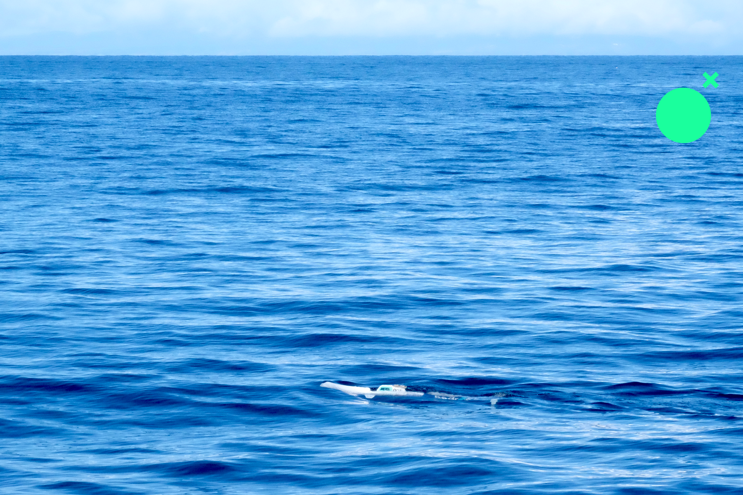
We’re extremely proud to announce that Bedrock successfully conducted our first set of rigorous sea trials off the coast of California. This included carefully selected objective-based missions to acquire and analyze the performance of the vehicle, our data quality, and survey process-driven maneuvers. We successfully performed navigation runs, magnetometer calibration maneuvers, patch tests, sound velocity casts, communication range testing, and fault detection, isolation, and recovery (FDIR) trials. It also included a survey of a known subsea pipe!
We still have work to do, but we’re exceptionally proud of the results.
Some stats on our short mission characterization activities over two operation days:
Total number of autonomous ocean missions successfully run: 28
Total line-km’s on the surface: ~10 km
Total line-km’s submerged: ~30 km
Depth ranges operated: 0-20m (65.6ft)
Total submerged operation time: ~6 hours
Longest duration submerged: ~45 mins
Commercial datasets collected:
Multibeam Echosounder: Bathymetry, Backscatter
Sidescan Sonar Imaging
Magnetometer
Max distance from shore: 2.4 km
Here’s a sneak preview of some of the Sidescan data we collected. We are framing this:

To date, Bedrock has completed a total of 237 fully autonomous test missions.
What’s Next
We are continuing to tune the system to improve data quality and proceed through our factory acceptance test criteria. Results so far are extremely exciting and did not disappoint.
This marks a huge milestone for the Bedrock team. We tested our vertically integrated software applications and acquisition hardware. We have been in the open ocean and back. The next missions will be longer, deeper, farther, and more challenging. May our ascents equal our descents and come home to illuminate even more of the unknown for all of us.
To the depths & beyond,
Team Bedrock
P.S. - if you’d like to see more of the early data for evaluation and feedback to our team, come find us on the floor at IPF 2023 in Baltimore, Maryland, or reach out to us here.
Activities were conducted in Monterey Bay under permit MBNMS-2022-023.